
Tre Cime di Lavaredo Trekking: Insider Tips and Trail Details
Tre Cime di Lavaredo, alternatively referred to as Drei Zinnen, emerges as one of Italy’s most renowned mountain peaks. The combination of its conveniently accessible location and awe-inspiring panoramic vistas has led to a growing popularity among visitors. Additionally, their cultural and natural importance is emphasized by their inclusion in the UNESCO World Heritage list since 2009.
Table of Contents
![]()
Tre Cime di Lavaredo hiking details
The circular trail begins at the parking lot of Rifugio Auronzo, where you will have the option to choose whether to start the hike to the left (towards Langealm on Trail no. 105) or to the right (towards Rifugio Lavaredo on Trail no. 101).
Distance
Duration
Difficulty
Ascent
As we explore the captivating realm of Tre Cime di Lavaredo, it becomes intriguing to learn that the three peaks are individually named, forming a mesmerizing geographical panorama that gracefully unfolds from east to west.
- Little peak: Cima Piccola / Kleine Zinne – 2,857 m / 9.37 ft
- Big peak: Cima Grande / Große Zinne – 2,999 m / 9.83 ft
- Western peak: Cima Ovest / Westliche Zinne – 2,973 m / 9.75 ft
How to get to the Tre Cime di Lavaredo?
Reaching the three peaks is commonly done by car, public transportation, or even on two wheels, whether it’s a bicycle or a motorbike.
BY CAR
Opting for travel by car, whether it’s your vehicle or a rental, is undeniably the most convenient choice. Despite potentially being a bit more expensive, it provides unparalleled freedom. Additionally, with the ability to customize your itinerary, you are no longer subject to the schedules of others. However, the only conceivable drawback might be manoeuvring through narrow roads or sharing the route with less experienced drivers.
BY BUS
On the flip side, opting for a bus presents a cost-effective and environmentally friendly alternative that minimises hassle. Nevertheless, the only compromise lies in adhering to fixed schedules. Yet, this is a modest concession given the benefits for both the environment and your finances. To access bus routes from your departure city, visit this website. Simply enter your starting point and designate your destination as ‘Auronzo di Cadore, Rifugio Auronzo.’ This straightforward approach provides a means to reach this stunning destination.
Where to park for the Tre Cime di Lavaredo hike?
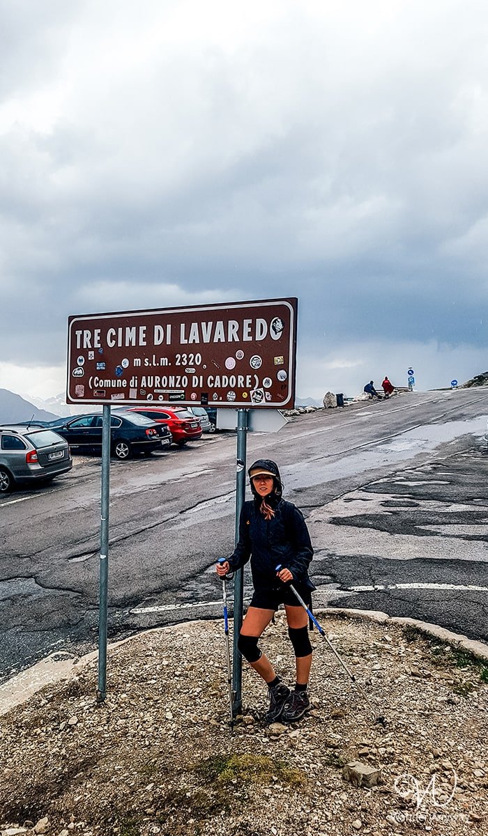
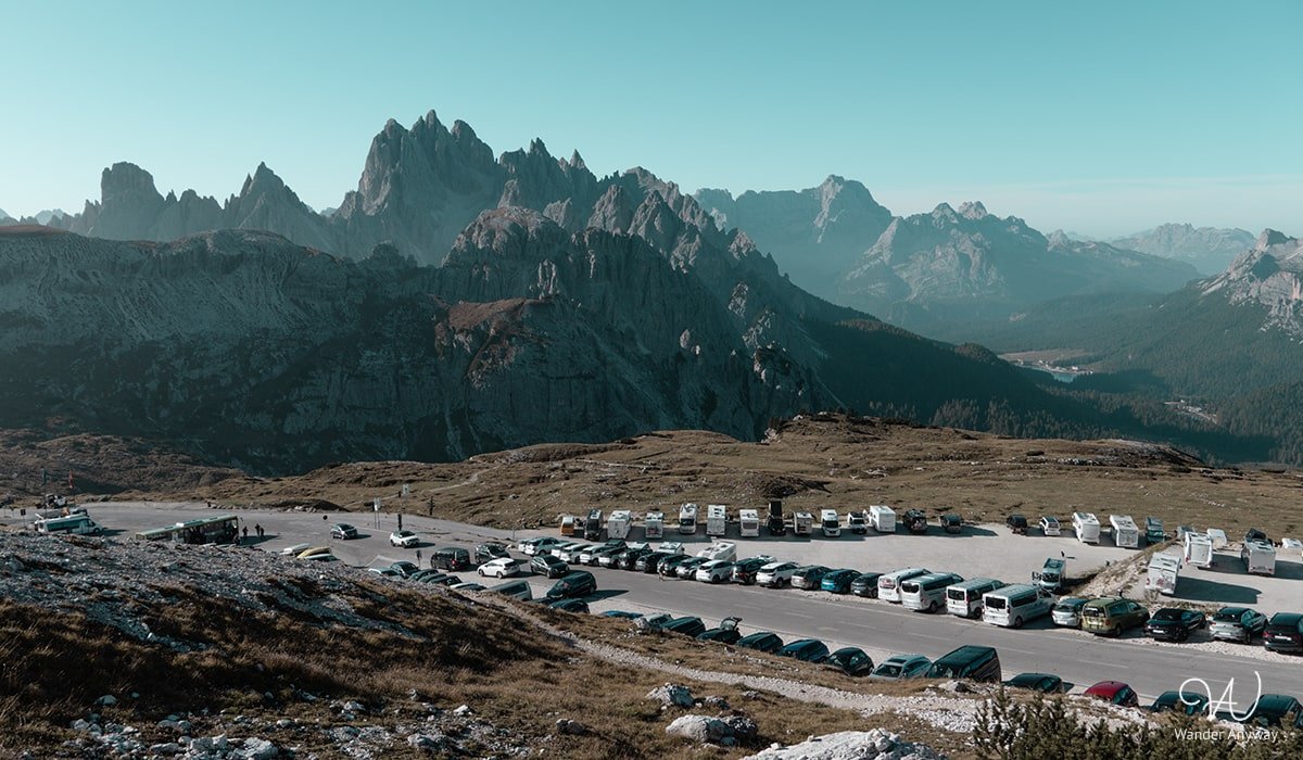
The parking area for the Tre Cime di Lavaredo hike offers 700 spaces. It is recommended to arrive early, as the gate closes when the lot is full. Access to the toll road is available from late May to late October, contingent on weather and snow conditions.
Paid parking lot (Rifugio Auronzo):
Cars: 30 EUR | Motorbikes: 20 EUR | Campers: 45 EUR | Bus: up to 30 persons/more than 30 persons: 60 EUR/120 EUR
Free parking lot (Lake Antorno):
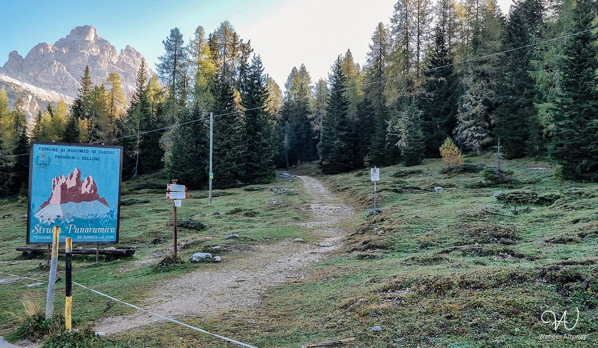
Explore two complimentary parking areas (here and here) conveniently situated near Lake Antorno. Upon parking, proceed along the paved road for a few hundred meters toward the Tre Cime Parking lot. Just before reaching the gate, keep an eye out for a trail on your right, guiding you to Rifugio Auronzo. However, it’s essential to note that the free parking option comes with a drawback – a 9 km round-trip hike. If you choose this, bear in mind that the Tre Cime hike itself spans 10 km.
- The paid parking lot
- The trail towards Rifugio Auronzo
The best time to visit the Tre Cime di Lavaredo
Determining the optimal time to visit the three peaks hinges on your preferences, as each season imparts a distinctive charm to this region. To escape the larger crowds, especially in the peak summer months of July and August, plan your visit during the shoulder seasons. These months offer a more serene experience. Additionally, note that the toll road to access the parking lot is only open from late May to late October, subject to weather and snow conditions.
I visited Tre Cime di Lavaredo in June and it was a captivating experience. Each season brings its own magic to these peaks, and the contrast of warm weather with lingering snow made the visit even more memorable.
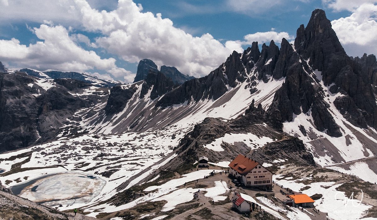
Where to stay before the Tre Cime di Lavaredo hike
Tre Cime di Lavaredo graces the northeastern part of Italy within the Dolomites. The closest significant towns and locations include:
Misurina: A picturesque lake and village situated nearby, offering stunning views of the Tre Cime. It’s about 10 kilometres southeast of the peaks.
Cortina d’Ampezzo: A well-known resort town and a gateway to the Dolomites.
Auronzo di Cadore: The town’s strategic location at the foot of Drei Zinnen makes it an ideal starting point for those seeking to explore the breathtaking landscapes and hiking trails of the Dolomites.
Sesto (Sexten): A village located to the northeast of the three peaks, known for its mountainous surroundings.
San Candido (Innichen): A charming town situated to the northeast, close to the Austrian border.
The distances between the mentioned locations around Tre Cime di Lavaredo range from approximately 10 to 40 kilometres, resulting in an estimated driving time of around 15 to 45 minutes, depending on specific routes, road conditions, and traffic.
Pro Tip: Discovering the Charm of Cadini di Misurina
While exploring Tre Cime di Lavaredo, I highly recommend embarking on another brief hike to the Cadini di Misurina viewpoint. Despite being in the opposite direction of the three peaks, it offers a fascinating view. You can find all the details about this short 4 km hike in my article here.
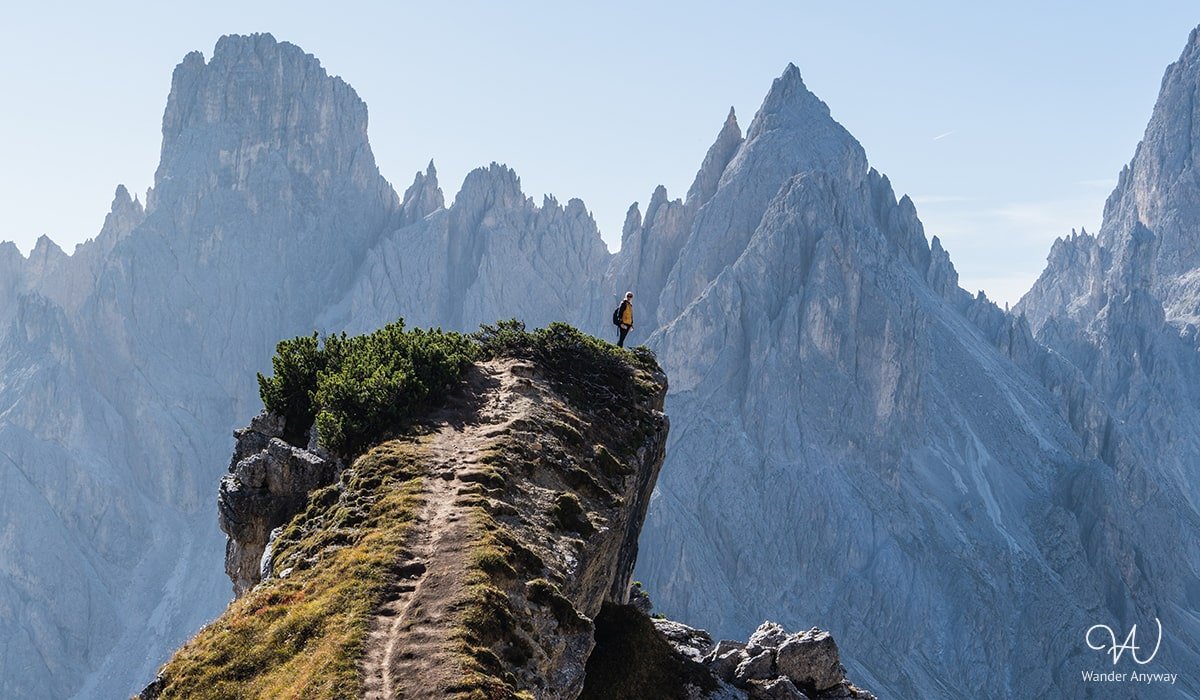
All in all my trip to the three peaks in June was a breathtaking experience. As a nature lover, the hiking route’s spectacular views, from the majestic Cima Grande to the picturesque landscape unfolding from east to west, left an indelible mark. Whether you’re a seasoned hiker or an avid nature enthusiast, Tre Cime di Lavaredo is worth every step, offering an unforgettable encounter with the pristine wonders of the Dolomites.



Tank you for your great description! Two questions: first, how challanging is the trial around? Is it for everyone, as long as you’re enough trained or are there steep passages that might sen frightening? Second, you suggest to go there early. We’re planning a trip late June, how early is early?
Thank you for a great site!
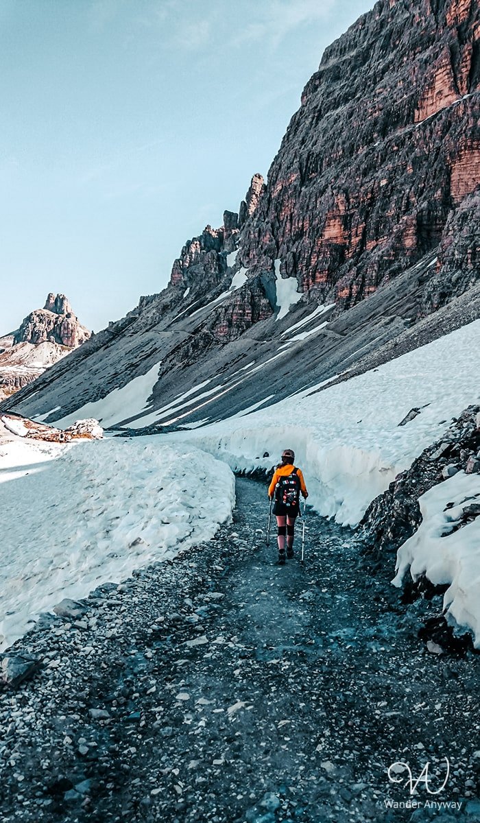
Thank you. 🙂 The trail is classified as moderate, and as long as you’re adequately trained, it shouldn’t pose a problem. It spans a length of 10 km with an elevation gain of around 430 meters. This means that while there are some very easy and flat sections, you’ll also encounter occasional uphill segments and slightly more challenging terrain, though nothing overly daunting. The hike is manageable even for families with children.
Parking availability can vary depending on the season, but it’s common for the lot to fill up by 9-10 a.m. Therefore, I recommend arriving much earlier. Arriving around 7-8 a.m. should be okay.