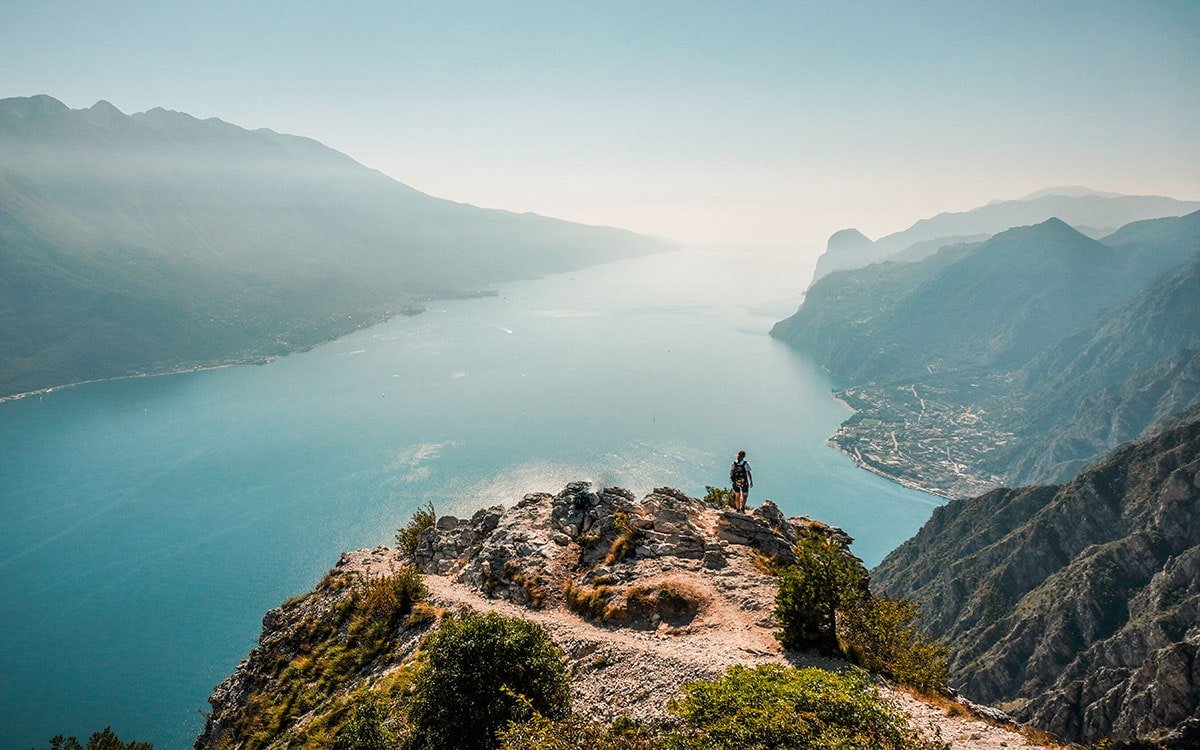
Punta Larici Hike: Lake Garda’s Spectacular Trail
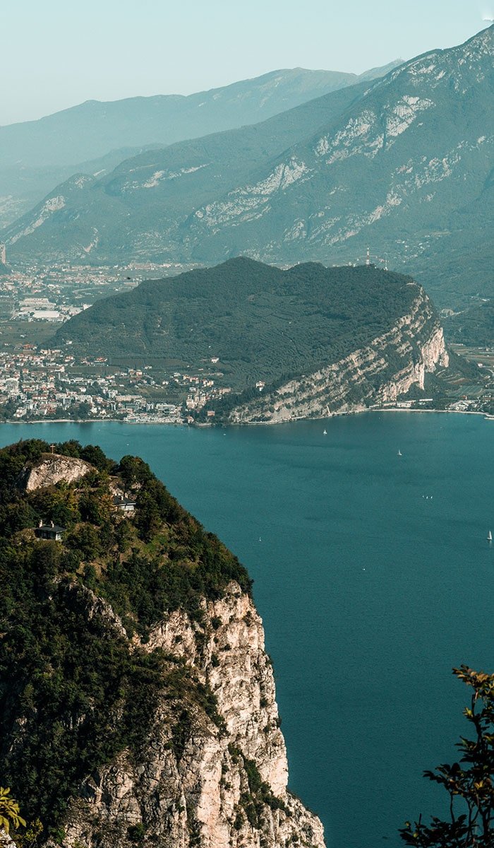
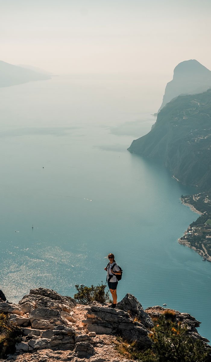
Punta Larici, situated at an elevation of 907 meters, stands as a remarkable vantage point offering breathtaking views of Lake Garda. This rocky outcrop is seamlessly integrated into the Brescia and Garda Prealps, and it’s conveniently located near the charming village of Pregasina.
If you’re considering a hike to Punta Larici, you’ve come to the right spot. Here, you’ll find comprehensive hiking information, including where to begin, parking details, and a step-by-step guide for your hike.
Table of Contents
Where is the starting point for the Punta Larici trail?
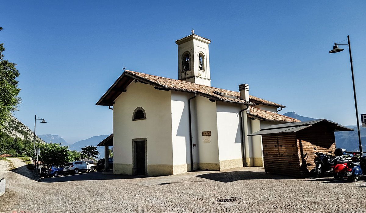
The trailhead for Punta Larici, also known as Cima Larici, is situated in Pregasina, close to the Chiesa Parrocchiale di San Giorgio church. The sign for the trail is 422B.
How to get to the Punta Larici starting point?
Pregasina, a part of the Riva del Garda municipality in the autonomous province of Trento, rests 535 meters above sea level overlooking Lake Garda. While it is accessible by public transportation, the options may be limited. The most convenient way to reach this charming town is by car, although biking is also a great alternative.
BY CAR
If you have a car at your disposal or have rented one, you can easily drive to the starting point near the Chiesa Parrocchiale di San Giorgio church in Pregasina. Furthermore, there is a parking lot available to leave your vehicle.
Parking for the Punta Larici hike
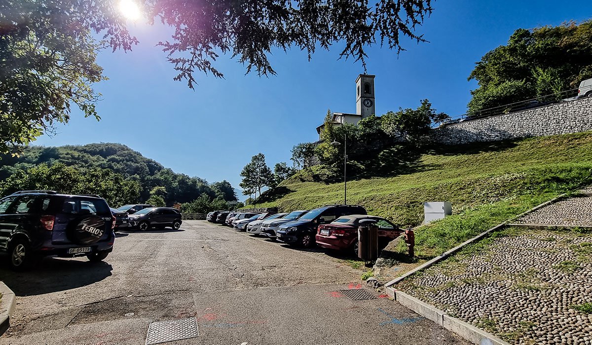
The parking area, located near the trailhead just below the church, offers free parking but has limited capacity. To secure a spot, it’s advisable to arrive early.
BY BUS
Pregasina is linked to Riva del Garda via intercity bus line B214 (Riva – Pregasina – Bezzecca – Storo – Pieve di Bono). However, it’s worth noting that the bus service is rare.
BY MTB
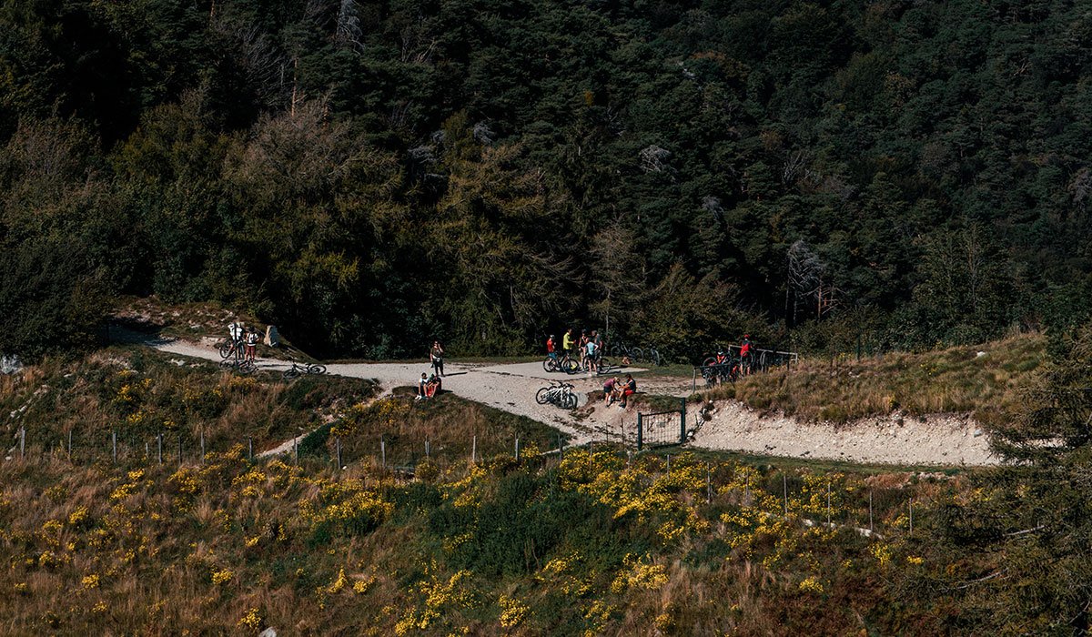
For those with a taste for adventure and a love of biking, consider taking a mountain bike to access this incredible view. Just before the panoramic viewpoint, you’ll find a convenient parking lot where you can securely leave your bikes. From this point, it’s just a short hike to reach the breathtaking Punta Larici viewpoint.
Punta Larici hiking details
The following information pertains to an out-and-back hike. Initially, you’ll want to follow the 422B trail. As you progress, you’ll come to a juncture where you can opt to stay on the 422B trail, which leads through the forest, or select the 422A trail. The latter is a bit more demanding but rewards you with stunning views along the way.
Distance
Duration
Difficulty
Ascent
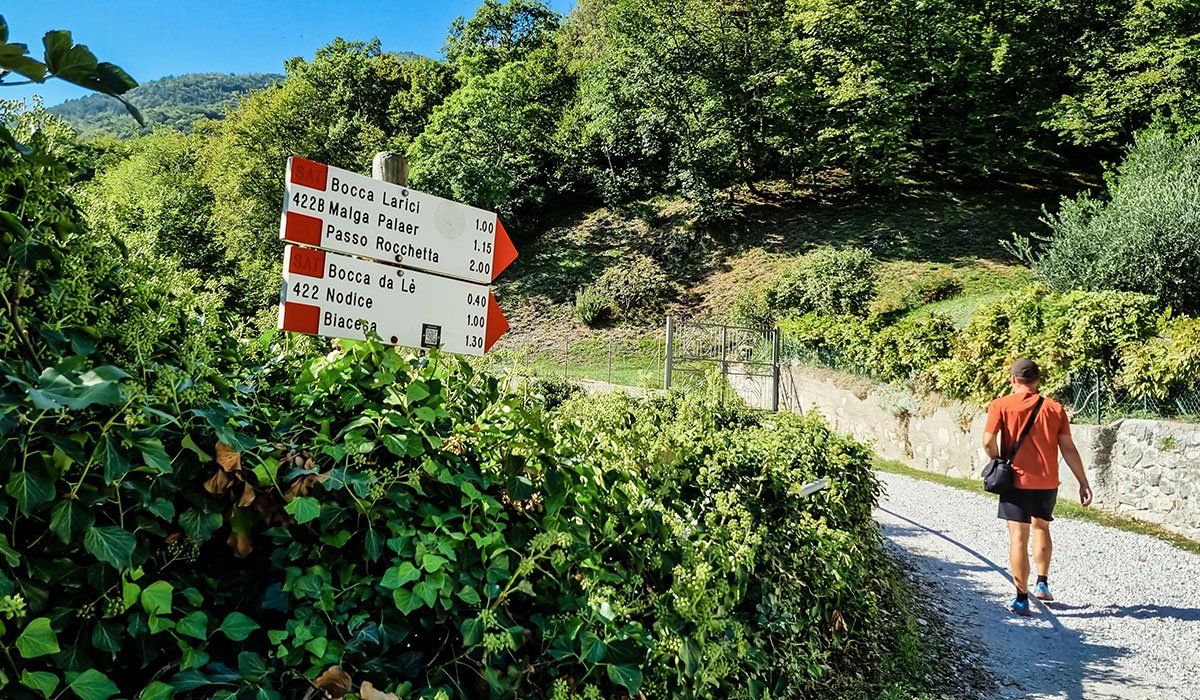
Upon reaching the church, be on the lookout for signs directing you to the 422B trail. As you proceed, you’ll come across a junction; at this point, continue following the 422B trail. The terrain will vary from forested paths to dirt roads and even paved roads.
Eventually, you’ll encounter another junction offering you a choice between the 422A and 422B trails, or the paved road if you’re cycling with a mountain bike.
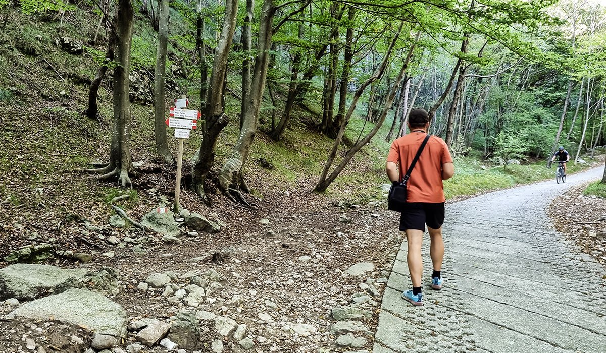
At this junction, you have two options: head left for 422A or continue straight for 422B
We opted for the 422A trail, which, although steeper and more challenging than 422B, rewards you with superior vistas. If you choose 422B, you’ll continue along the trail, whether on the mountain bike path or through the forest.
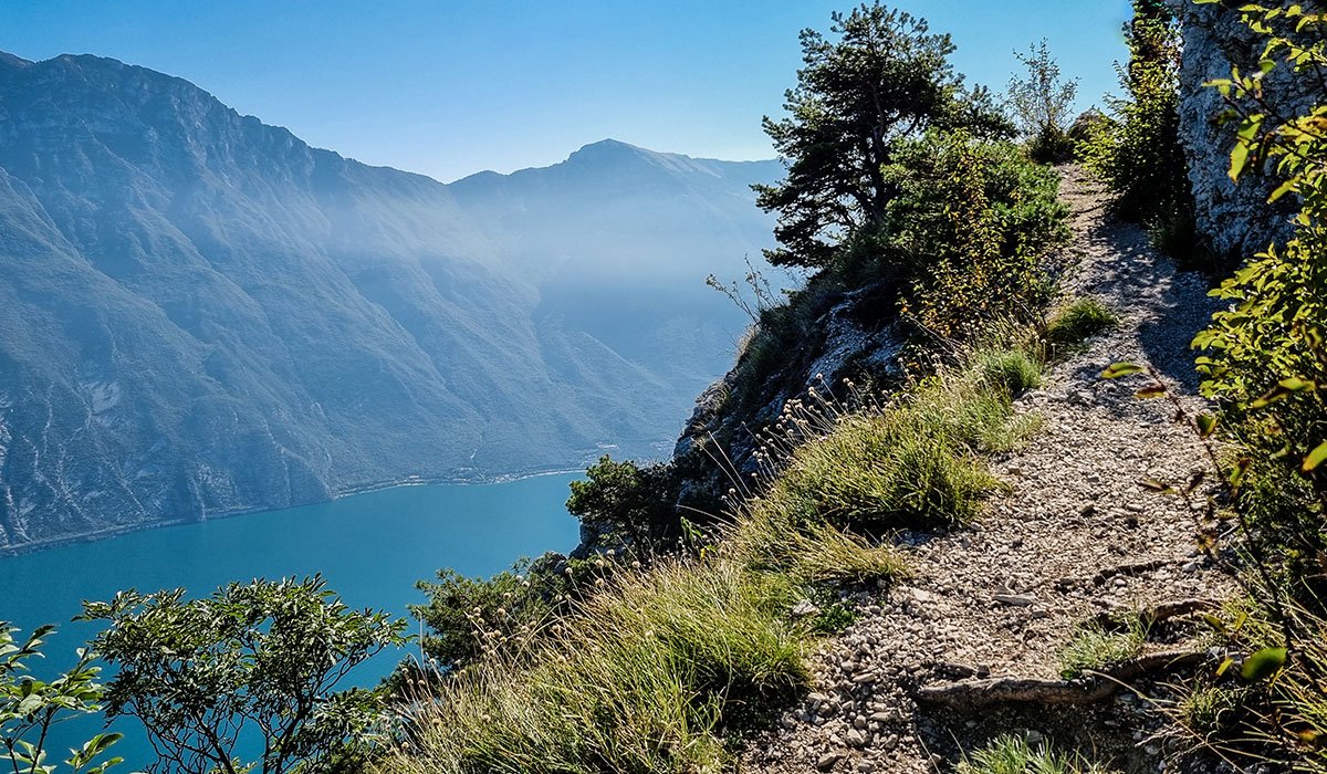
422A Trail
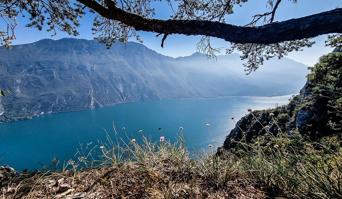
422A Trail
As you approach the summit, both 422A and 422B trails will converge, leading you to the panoramic viewpoint. If you’re on the mountain bike trail, you’ll arrive at a parking lot where you can securely leave your bike. From this point, you’ll have a clear view of the summit, and a brief, easy hike will take you to the top.
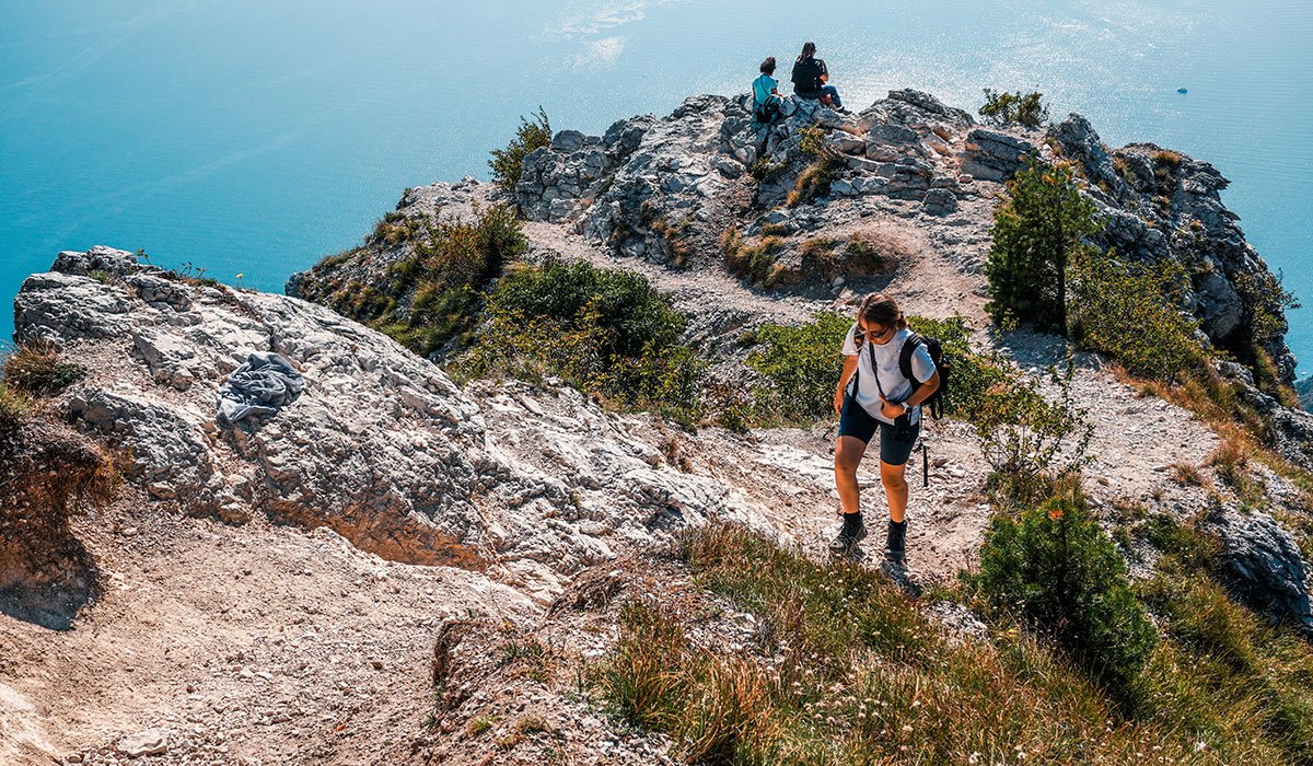
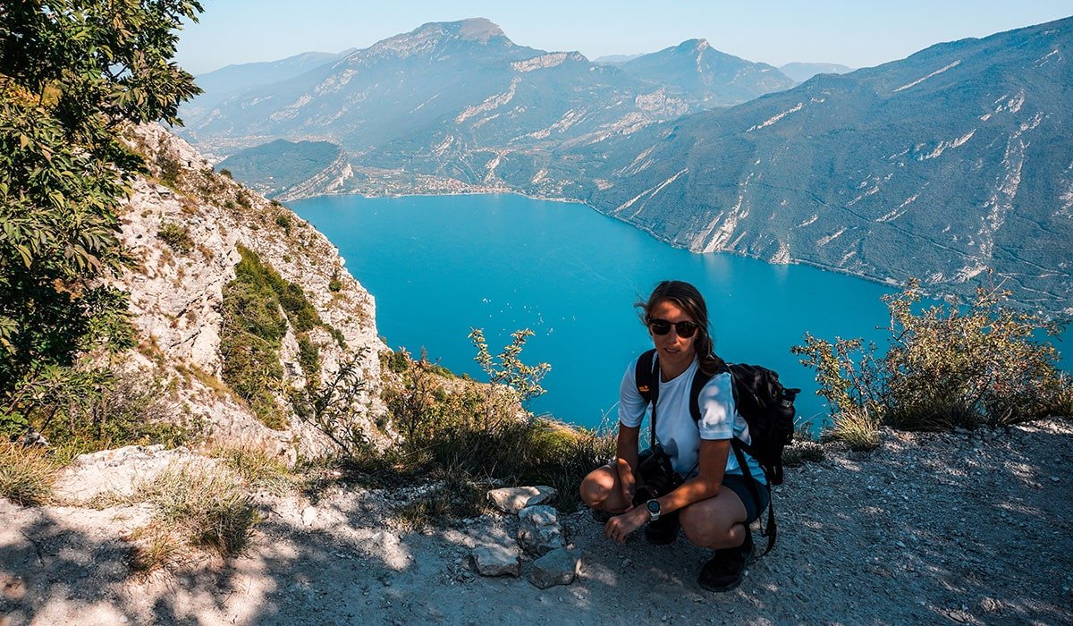
On our return journey, we chose the 422B trail, which led us back down to the church and the parking lot. Our hike (out-and-back) took approximately 4 hours, accounting for breaks, photo stops, and a snack break. If you’re eager to extend your exploration, there’s a convenient option not far from here: a leisurely loop hike around Lake Tenno. Alternatively, if you’re interested in history, the nearby medieval village of Canale di Tenno is a must-visit.



Leave a Reply